
A road trip is all about possibilities of what can unfold along a journey. It's bypassing the highway to explore towns that time forgot; it's discovering roadside eateries; and it's taking the time to visit attractions like the world's largest ball of twine or a Ford truck graveyard.
This is a guide from our New York City to Florida road trip. Our route took us through the Shenandoah Valley, the Blue Ridge Mountains, the Smoky Mountains, Nashville, Alabama, the Florida panhandle, the Tampa Bay area, and New Smyrna Beach.
While we took thirteen days to complete the trip south, this is still a quick hit guide. It's a cheat sheet for where to eat, drink, shop, explore, sleep, and see random cool stuff.
Safe travels and happy trails,
Nick and Robin

On the road to Virginia | Photo Credit: ©Find. Eat. Drink.
Day 1 -- New York to Virginia
NYC to Staunton, VA
Our goal for the first day was to get out of the Northeast and officially start our southern route. We took I-81, a heavy truck passage, and hopped off at I-66 in Virginia for the more picturesque Route 340. This gives you the option to visit Luray Caverns, a cave with towering stone formations, cathedral-sized rooms and 10-story high ceilings.

Front Royal, Virginia | Photo Credit: ©Find. Eat. Drink.
Skyline Drive, designated the National Scenic Byway, starts at the Chester Gap and winds its way down the length of the Shenandoah National Park. It's a two-lane road with a 35 mph speed limit that ambles along the crest of the Blue Ridge Mountains. It's a spectacular drive in the fall season when the leaves are changing. Note: after the Shenandoah National Park, the Blue Ridge Parkway takes over, runs the 496 miles down through Virginia, and ends at Cherokee, NC.
Our first destination was Staunton, a hilly town in the Shenandoah Valley that holds the bragging rights as the birthplace of President Woodrow Wilson. It feels like not much has changed since Wilson was here. The downtown area still has many of the historic buildings, some dating back to the 1870s, now filled with boutiques and antiques shops.

Clearing Tree Branches along Virginia's Route 610 | Photo Credit: ©Find. Eat. Drink.
Day 2 -- Virginia
Staunton, VA to Roanoke, VA via Lexington, VA
Blue Ridge Parkway
Our original plan for day two was to drive along a portion of the Blue Ridge Parkway at the northern-most entrance and then cut over to Lexington for lunch. Unfortunately, the March weather wasn't on our side and the highway was closed due to high winds. We opted for plan b and took Route 610 that parallels the parkway for about five miles then heads off to the west. We don't recommend doing this, especially in bad weather. The road is narrow with a steep incline on the side and changes from paved to dirt and rock. The day we took this road it was incredibly windy and lined with fallen tree branches. It was a nail-biter of a ride.
Lexington
Lexington is halfway between Staunton and Roanoke and was a perfect place to stop for lunch -- just the right size town to stretch the legs, grab a bite, and browse a few shops. It is also home to the Virginia Military Institute and Washington and Lee University.

Natural Bridge General Store in Virginia | Photo Credit: ©Find. Eat. Drink.
The Natural Bridge
Twenty minutes from Lexington is a 215-foot tall limestone arch called the Natural Bridge. It's a rock formation over a gorge and for $8 per person you can hike under the bridge and along the river bank. The hike is easy with just a few stairs down to the water's edge and then it's flat from there.
Roanoke
Roanoke is the largest city in southwest Virginia. In 2017, Amtrak resumed service here after stopping in 1979. Afterwards, the city center began decaying and residents and businesses moved elsewhere. Today, it's on its way back to becoming a thriving downtown with independently-owned restaurants opening and a large craft beer scene emerging.

Asheville | Cherokee Indian Reservation | Photo Credit: ©Find. Eat. Drink.
Days 3 & 4 -- Virginia to North Carolina
Roanoke, VA to Asheville, NC
As with any road trip, you have to make choices along the way. We wanted more time in Asheville and chose the direct route which takes just under four hours. Grab a biscuit and ham for breakfast in Roanoke and arrive in Asheville in time for lunch. Alternatively, if you tried a Virginia cider at dinners in Staunton and Roanoke, you might be inspired to stop in Dugspur, VA to taste some Foggy Ridge Cider.
Asheville is surrounded by the Blue Ridge Mountains which gives the city its dramatic backdrop. It's the kind of place that attracts hippies, hipsters, and hikers. It feels a little stuck in the 1960s with street vendors selling tie-dyed shirts, incense, and patchouli oil. It's a beer city with no shortage of breweries -- 26 craft breweries in Asheville and 60 plus in the region. If you are into exploring the outdoors, there are over 3,000 miles of public hiking trails close by. We were enticed by the burgeoning food and cocktail scene here.

Great Smoky Mountains National Park | Photo Credit: ©Find. Eat. Drink.
Days 5 & 6 -- North Carolina to Tennessee
Asheville, NC to Nashville, TN via Smokey Mountain National Park & Maryville, TN
Take the time to drive through the Great Smoky Mountains National Park. There are several ways to head west, but we chose Route 19 through Cherokee, Route 441 through the park, stopped in Maryville for lunch, and then sprinted on to Nashville.
Cherokee, which marks the southern-most point of the Blue Ridge Parkway, is an Indian reservation with souvenir trading posts selling moccasins and dream catchers; smoke shops; motor courts; and a Harrah's Casino. The park has 816 acres for hiking, camping, picnicking, and animal watching. Even if you don't have the time or desire for the outdoors, don't miss the many stops along the way to catch mountain vistas.
Maryville
Above the northwest corner of the park, about 20 minutes from the luxury resort Blackberry Farm, is the small town of Maryville. Just off of Route 321 is Full Service BBQ, a converted gas station with outdoor picnic tables. It's just right for a quick hit lunch on your way to Nashville.

Nashville | Photo Credit: ©Find. Eat. Drink.
Nashville
Both us of had visited Nashville years ago, back when the identity of the city was all about country music. Today, Music City has transformed itself into one of the leading culinary cities in the States. Celeb chefs are making their mark on the scene; Brooklynites have relocated here to open up cocktail bars; and Grammy award-winning musicians are investing in hipster coffee shops. You could go broke trying to fill your liquor cabinet with all the locally-made spirits.
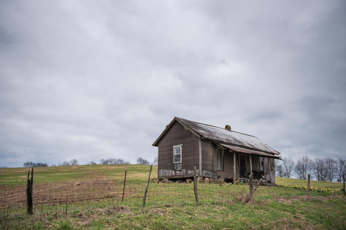
Tennessee | Photo Credit: ©Find. Eat. Drink.
Day 7 -- Tennessee to Alabama
Nashville, TN to Florence, AL via Leiper's Fork
On your way out of Nashville, head southwest through Belle Meade and stop at the famous Loveless Cafe. It's very much on the radar of most tourists, but you can eat a breakfast of biscuits and country ham and then amble through their on-site shops to buy hams, jams, Goo Goo Clusters, and their branded t-shirts, mugs and baseball caps.
Leiper's Fork, TN
This is the quintessential dressed up, quaint country village. It's where the Nashville crowd goes for romantic weekends to stay in cute B&Bs and browse antique shops and galleries.
The drive from Nashville through Leiper's Fork and down to Florence on Route 43 takes you through the hillsides of Tennessee's backcountry.
Florence, AL
Florence may be a small Alabama city, but it is multifaceted with architecture, music, fashion, and several food options -- it's worth adding as a place to visit. The Rosenbaum House is the only Frank Lloyd Wright house in the whole state. The famed Muscle Shoals area, just across the bridge from Florence, became known in the '60s and '70s as one of the top places for recording studios with everyone from Aretha Franklin to the Rolling Stones recording here. Dr. Dre and Jimmy Iovine are in the process of reviving one of the more influential studios. On the fashion front, Florence is the headquarters for menswear designer Billy Reid, who is adding cache and putting money into the downtown area. Put all together and the food scene follows closely behind.
Florence, Alabama | Photo Credit: ©Find. Eat. Drink.
Day 8 -- Alabama
Florence, AL to Birmingham, AL
With only one night planned in Birmingham, we put Florence in the rearview mirror and didn't dawdle along the route.
Birmingham is going through a resurgence and it feels like the city has opened up the windows to let a fresh breeze blow through the once stagnant air. The downtown was left untouched for so long that it has become a stunning canvas for young entrepreneurs who are opening coffee shops, restaurants, boutiques, offices, and living spaces in historic loft buildings.

The historical Edmund Pettus Bridge in Selma, AL | Photo Credit: ©Find. Eat. Drink.
Day 9 -- Alabama to Florida
Birmingham, AL to the Panhandle, FL via Selma, AL
The quick route from Birmingham to Fort Walton Beach is down I-65 through Montgomery, but it's worth taking a detour to see the historic city of Selma.
Selma
Located in the Black Belt region of south central Alabama, just two hours south of Birmingham and an hour west of Montgomery is the city of Selma. Small in size, but not in historical significance, this is a city scarred by its past as a battleground for the Civil War and Civil Rights. Time and financial fortune have not been kind to Selma with many of the city's storefronts now empty and boarded up. Take the time to walk (or drive) over the iconic Edmund Pettis Bridge as a reminder of the past. There is also Lannie's BBQ, significant for its own interesting history and a stellar pork sandwich.
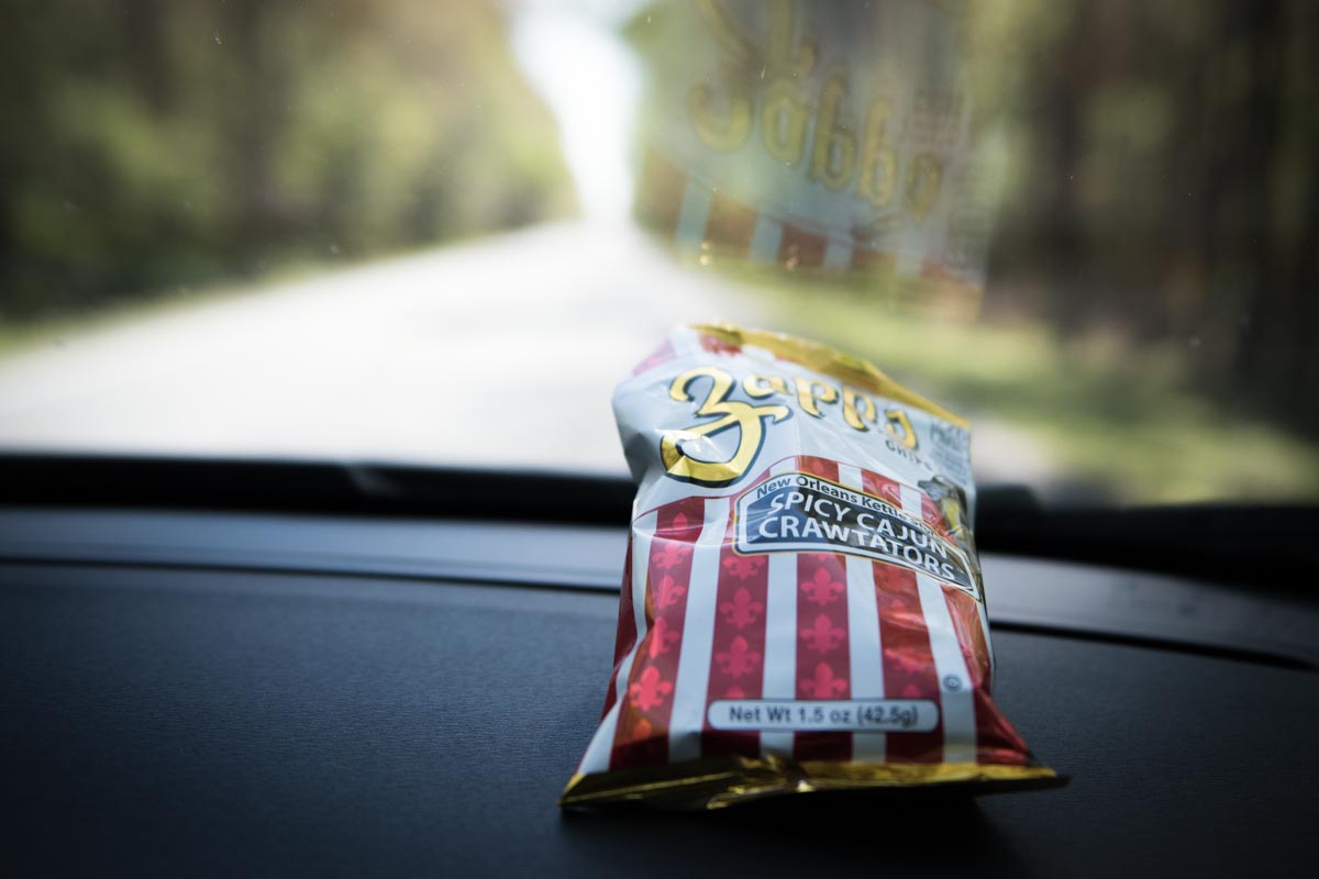
Southern snacks | Photo Credit: ©Find. Eat. Drink.
The Panhandle
The Panhandle is nicknamed the Redneck Riviera and is the 200-mile, northwestern edge of Florida that borders Alabama, Georgia, and the Gulf Coast. You will find some of the prettiest beaches in the country with sugar-white sand dunes. The dunes have eroded over the years from harsh hurricanes, but it is still a beautiful place to visit and eat your weight in seafood.

Route 30A through Alys Beach | Photo Credit: ©Find. Eat. Drink.
Day 10 -- Florida
Along the Panhandle, FL from Fort Walton Beach, FL to Apalachicola, FL
Drive along scenic Highway 30A which stretches along the Gulf Coast through Grayton Beach to Rosemary Beach. This stretch takes you along the manicured resort/planned communities for the second home owner set. There are many places to stop to eat, shop, and get an afternoon coffee. After the chic beach ambience of route 30A, Panama City is a noticeable contrast with its spring break vibe, strip malls, and piercing parlors. Just keep heading east and you'll drive right through Tyndall Air Force Base on the way to Apalachicola.
Apalachicola is a throwback to old Florida. 75 miles southwest of Tallahassee, it's a fishing village that once supplied 90% of the state's oysters. The supply has dwindled, but you can still find Apalachicola wild oysters on local menus. Things move slow here, so sit back and relax over a cold beer at the local brewery or one of the town's bars.

St. George Island | Photo Credit: ©Find. Eat. Drink.
Days 11 & 12 -- Florida
Apalachicola, FL to the Tampa Bay Area, FL via Cedar Key
On your way out of town take a right at Eastpoint and drive over to St. George Island. It's a 22-mile long unspoiled barrier island about 4 miles south of Apalachicola with a state park, a lighthouse, and lots of beach cottages.
This corner of Florida is referred to as the "Forgotten Coast" and has managed to avoid being built up. Drive along Highway 98 as you hug the coastline and you will come upon Carrabelle Beach. On the side of the road are pastel-colored 1950s picnic pavilions, which make for a good rest stop and photo op.
Don't miss another photo op along the way -- just after Medart, take a quick left on Route 319 towards Crawfordville for the Ford Truck Graveyard.
Head back to route 98 heading south as it curves around the bend and take route 24 west to Cedar Key, which really isn't on the way to anywhere.

Historic Island Hotel in Cedar Key | Photo Credit: ©Find. Eat. Drink.
Cedar Key
Cedar Key is like a mini-Key West on the Gulf Coast. It's a fishing village with one way in and the same way out. It's not a place you pass by, it's a place you intend to visit, with the nearest city about an hour away. This is Jimmy Buffett country. Trace his steps and get rum or a coldie at The Island Hotel, which was built in the 1800s.
Tarpon Springs
Take US-19 straight south past the used car lots, tacky motels, and strip joints. Veer off at Alternate 19 to Dodecanese Boulevard and you'll find the "Sponge Capital of the World." It is a historic Greek enclave that has been a working waterfront since the early 1900s, when Greek sponge divers settled here. There are still many families in the fifth or sixth generation living here, making it one of the largest Greek populations in the US. The authenticity of this sleepy village is possibly losing the uphill battle against becoming too touristy and being overrun by kitschy souvenir shops, but you can still find a few traditional Greek restaurants and bakeries.
St. Petersburg
Formerly known as "God's Waiting Room," St. Petersburg is blowing up and becoming one of the hottest cities in the country. There has been an influx of young people renovating dilapidated mid-century buildings and opening up coffee shops, craft breweries, cocktail bars, and chef-driven restaurants.

New Smyrna Beach | Photo Credit: ©Find. Eat. Drink.
Day 13 -- Florida
St. Petersburg, FL to New Smyrna Beach, FL
New Smyrna Beach is Florida's answer to what Malibu was in the 1960s -- a small coastal surf town. It's nickname is "Shark Bite Capital of the World," but the locals protest saying, "don’t worry, no one has ever lost a limb or been killed." They soften the moniker to "Shark Nip Capital of the World" and will tell you the sharks are found at the Inlet where the surfers go. People still drive on the beach here and have been for decades. It's part of their nostalgic charm, like the walk-up ice cream window on Flagler Avenue and the 1950s soda fountain at the old drug store on Canal Street.
Map
FED Features


